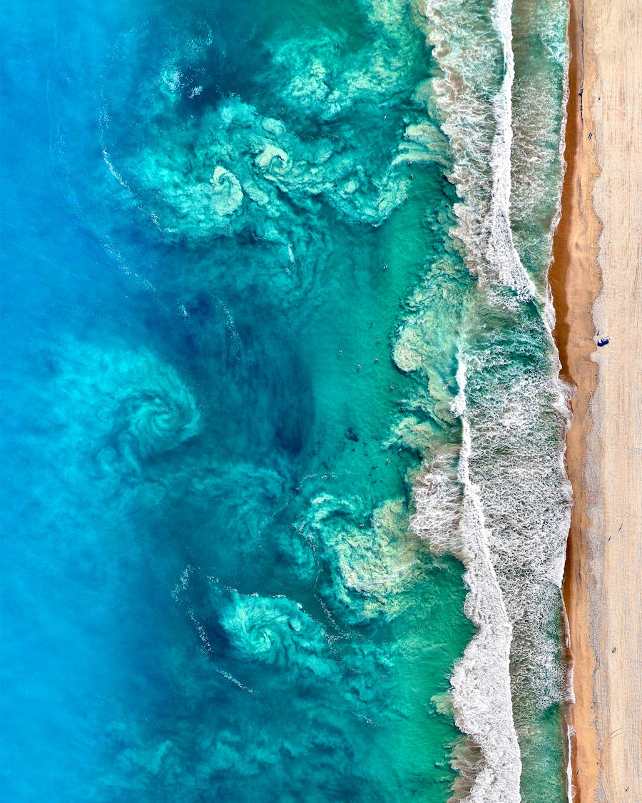
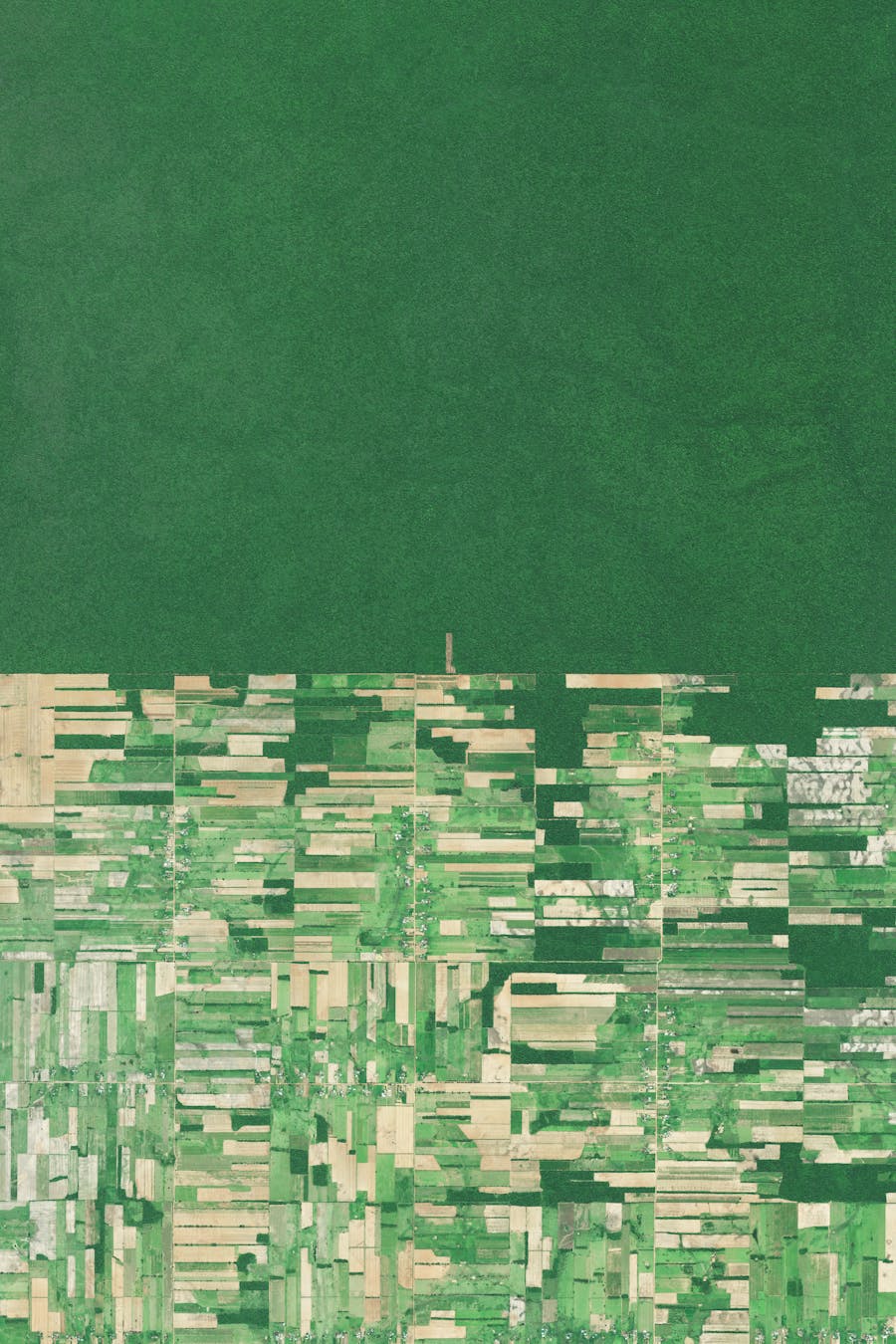
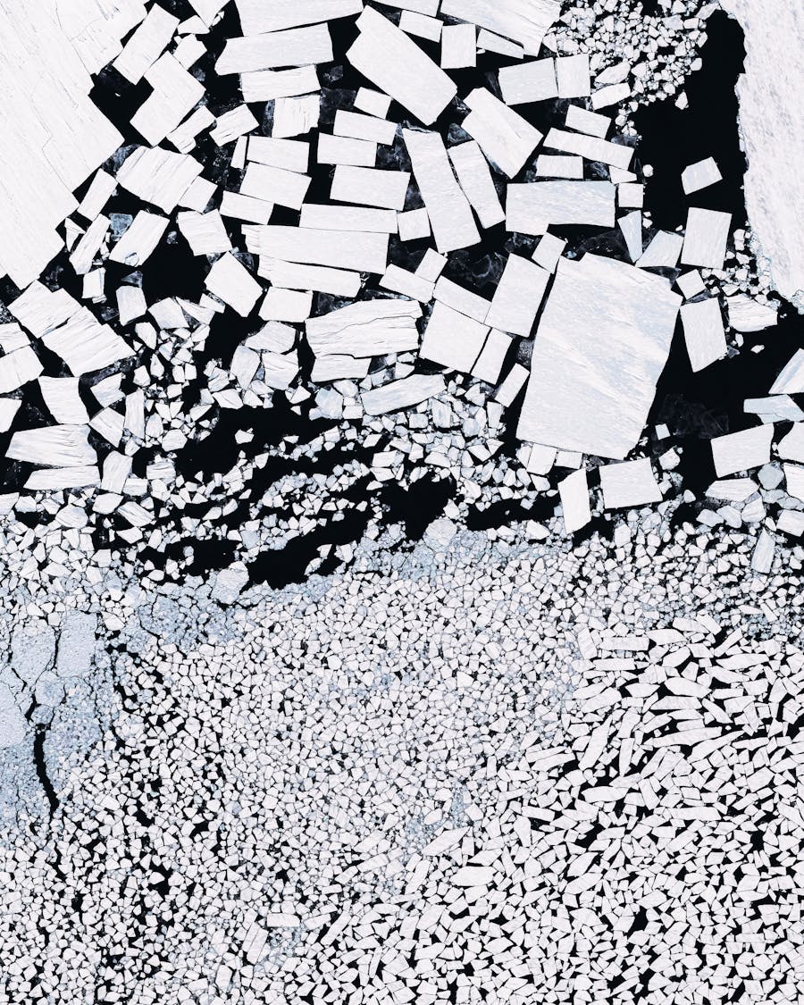
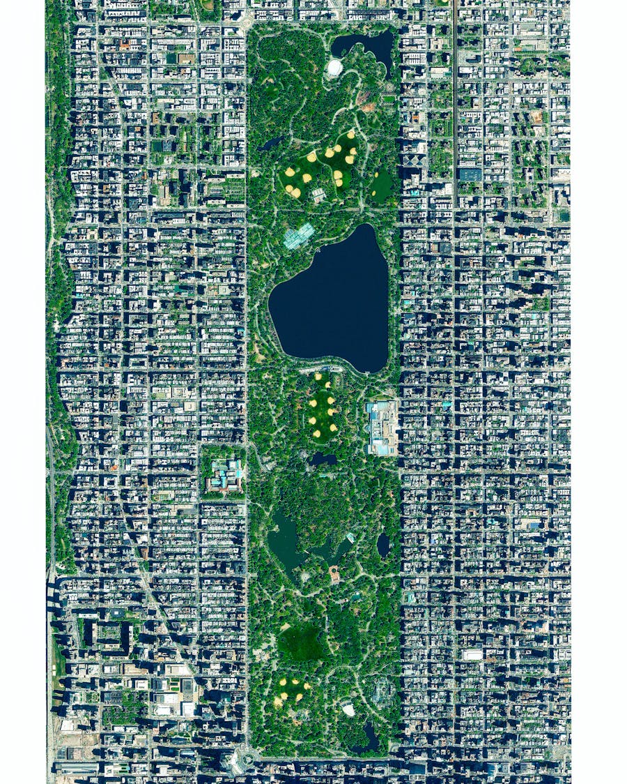
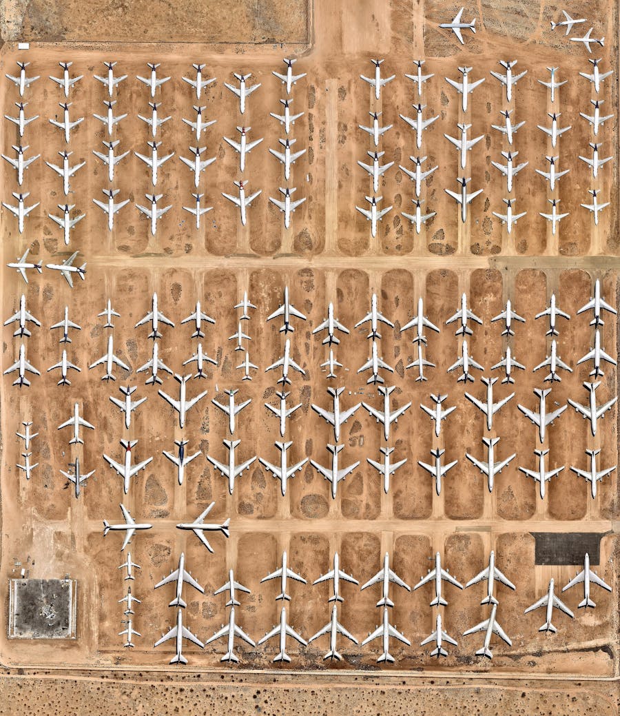
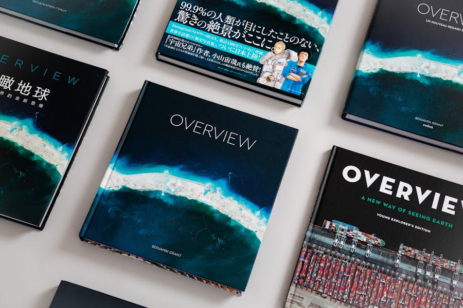
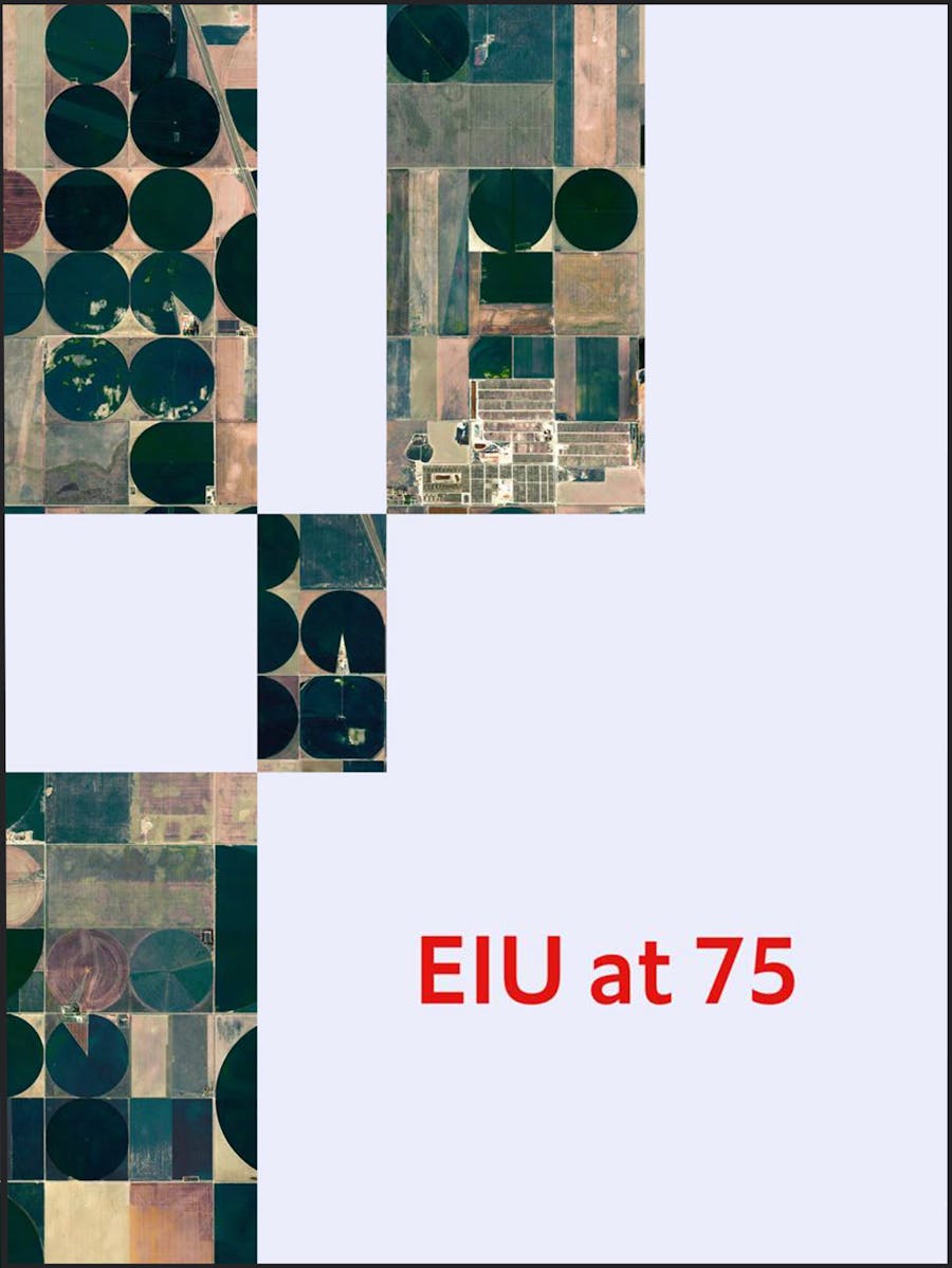
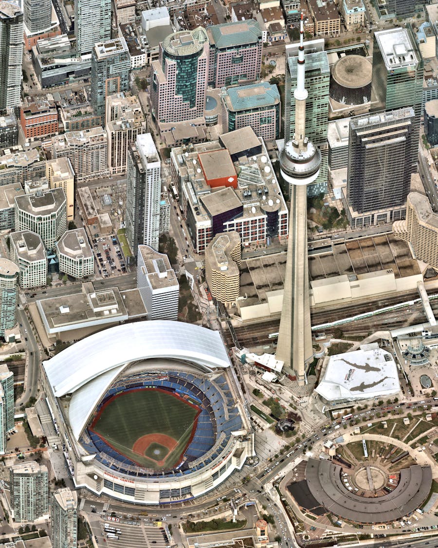
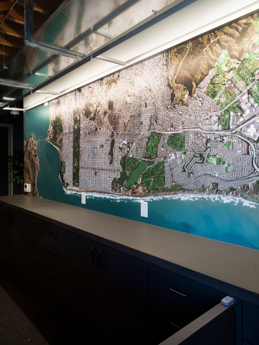
Overview uses satellite and aerial imagery to demonstrate how human activity and natural forces shape our Earth. This perspective provides a powerful look at the planet where we live and the civilization we are creating. Through our daily posts, products, licensing, and collaborations we aim to inspire the Overview Effect.
 Daily Overview
Our regular dose of Earth from above
Monaco F1
43.738418°, 7.424616°
The streets of Monte Carlo come alive today as the 2025 Monaco Grand Prix unfolds along one of the most iconic circuits in Formula 1. Winding through the harbor, past luxury yachts, and beneath historic architecture, this race has been a crown jewel of the sport since 1929. With overtaking nearly impossible, every qualifying lap, pit stop, and millisecond matters.

